Adress
Centre Dürrenmatt Neuchâtel (CDN)
Chemin du Pertuis-du-Sault 74
CH-2000 Neuchâtel
Centre Dürrenmatt Neuchâtel (CDN)
Chemin du Pertuis-du-Sault 74
CH-2000 Neuchâtel
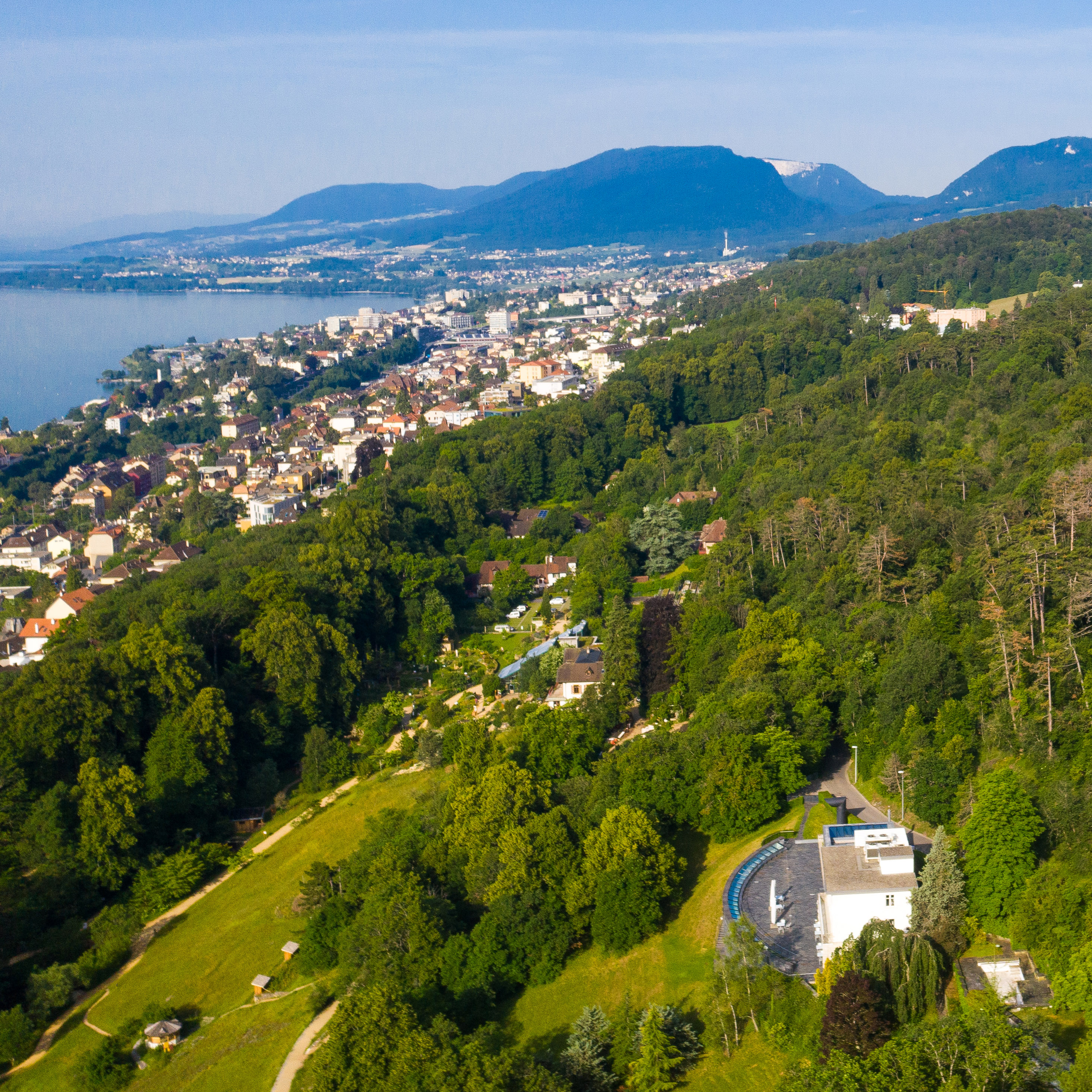
The CDN is situated next to the botanic garden in the Vallon de l’Ermitage, a haven of serenity nestled in untouched nature. The site boasts stunning views of Lake Neuchâtel and the Alps.


All the floors of the CDN are accessible to wheelchair users via a lift.
Friedrich Dürrenmatt’s study, located in the
second villa, is not currently accessible to people with reduced mobility or wheelchair users.
In order to preserve the calm and tranquillity of the Vallon de l’Ermitage, we encourage you to walk or cycle to the CDN where possible
Take line 109 in the direction of ‘Trois-Chênes’ and get off at the stop ‘Neuchâtel, Vallon de l’Ermitage’. Then, follow the Chemin du Pertuis-du-Sault uphill. It is about a 10-minute walk (shown in yellow on the map).
Take line 106 in the direction of ‘Ermitage’ and get off at the stop ‘Fontaine-André’. Walk through the botanic garden (two different routes possible: either 10 or 15 minutes uphill). Alternatively, get off at the stop ‘Neuchâtel, Vallon de l’Ermitage’ and follow the Chemin du Pertuis-du-Sault uphill. It is about a 10-minute walk (shown in red on the map).
Take line 421 (less frequent service) in the direction of ‘Cernier, centre’ and get off at the stop ‘Neuchâtel, Vallon de l’Ermitage’, then take the Chemin du Pertuis-du-Sault uphill. It is about a 10-minute walk (shown in yellow on the map).
Take line 112 in the direction of ‘Plan’ and get off at the stop ‘Neuchâtel, Plan (FUNI)’. Then, take rue Charles-Knapp and the Chemin du Pertuis-du-Sault. It is about a 15-minute walk uphill (shown in purple on the map).
From the SBB/CFF station, three (uphill) walking routes are shown on the map. The yellow route is the quickest (about 20 minutes), while the red routes go through the botanic garden. There is an entrance to the botanic garden on rue Matile (steps).
From this entrance, you can take a path through the botanic garden (the solid red line on the map, takes about 25 minutes) or a steep hiking trail in the forest that takes you to the Roche de l’Ermitage (panoramic viewing platform). From there, you can go back down to the CDN (red dotted line, takes around 30 minutes).
Head northeast above the main train station, along Faubourg de la Gare.
Take the left fork heading towards La Chaux-de-Fonds.
At the roundabout, follow the third exit up Rue du Rocher.
At about 300 meters from there, turn straight to the right at the corner of the Ermitage Chapel, which brings you onto Rue G.-A. Matile.
Turn left to follow Chemin du Pertuis-du-Sault.
With only a limited number of parking places availableimmediately above the Centre, further parking space exists a bit further on in the "Roche de l'Ermitage" area.
Take rue du Plan and then chemin des Perrolets-St-Jean. Park at the hamlet ‘Roche de l'Ermitage’. There is no space to make a U-turn in front of the CDN as the road is narrow.